Zena Agha

Menu

Skip to content
  • About
  • Book
  • Film
    • The Place that is Ours
    • Little Jerusalem
  • Writing
    • Journalism
    • Policy
    • Academic
  • Projects
    • Curation
    • Mapping Palestine
  • Contact

Mapping Palestine

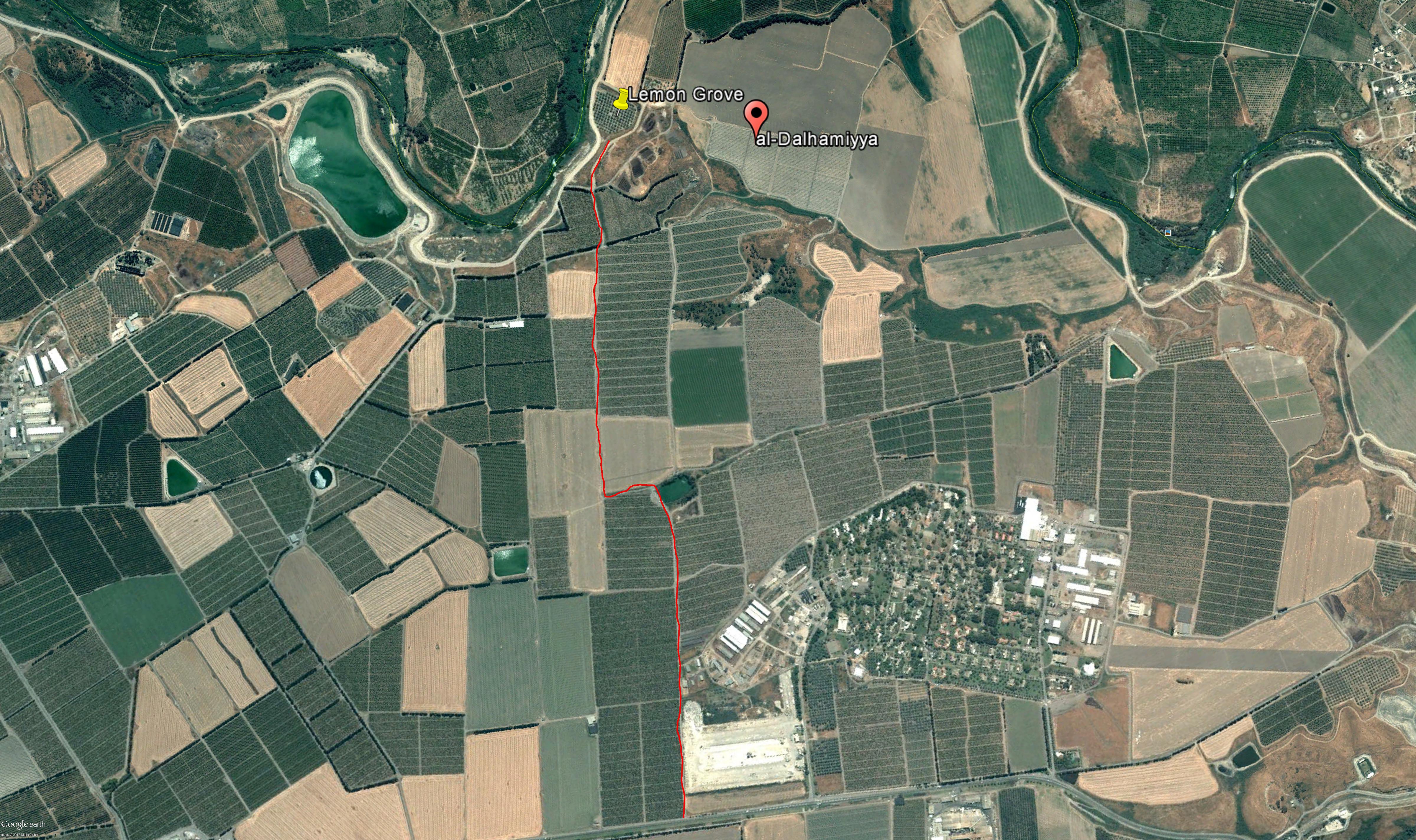
This research began at the Library Innovation Lab at the Harvard Law School in 2017 and continues as part of my doctoral research. The project seeks to demonstrates the fractured cartography of Palestine, from place names to border delineations. It incorporates different media such as historical and GIS maps, written text, photography and film.

Informed by the extensive archive at the Harvard Map Collection, scholarship around the censorship of satellite imagery and the presentation of destroyed villages through interactive maps, the research examines the ways we have (re)imagined and (re)drawn the land over the past 100 years, particularly around the partition of Palestine in 1948. You can find out more in this piece: Counter-mapping the Archive .

Satellite imagery of Dalhamiyya
Satellite imagery of Gat
Two maps of Palestine: pre-Nakba (left) and post-Nakba(right)

Share this:

  • Click to share on X (Opens in new window) X
  • Click to share on Facebook (Opens in new window) Facebook
Like Loading...
Widgets

Recent Comments

Archives

Blog

Meta

  • Create account
  • Log in
  • Entries feed
  • Comments feed
  • WordPress.com

Zena Agha

Zena Agha

Pages

  • About
  • Academic
  • Blog
  • Book
  • Contact
  • Curation
  • Film
    • Little Jerusalem
    • The Place that is Ours
  • Journalism
  • Mapping Palestine
  • Media
  • Policy Analysis
Blog at WordPress.com.
Privacy & Cookies: This site uses cookies. By continuing to use this website, you agree to their use.
To find out more, including how to control cookies, see here: Cookie Policy
    • Zena Agha
    • Sign up
    • Log in
    • Copy shortlink
    • Report this content
    • Manage subscriptions
 

Loading Comments...
 

    %d